On March 19th, 2026, King Charles III walked two miles along the chalk cliffs at Seven Sisters in East Sussex to officially inaugurate the trail in his name. The King Charles III England Coast Path is now the longest managed coastal walking route in the world, spanning 2,700 miles across the entire English Coastline. It’s been 16 years in the making, and it changes how Brits can enjoy their beloved seaside.
How It’s Being Promoted
The path has been marketed as “free-to-use”. No tickets, booking, or membership is required. This free-to-use method shows how the project aims to be accessible to all. In areas like Kent, the opening of the path has been accompanied with a ‘Coast Path Challenge’ where people log activities on the coast path via Strava or FitBit and these will appear on the Challenge Leaderboard for free. Those who partake can then be in with the chance of winning prizes like an overnight stay for two.
This kind of promotion works similar to those commonly used in the entertainment industry. For example, on casino and gaming platforms, daily free-to-play games like Betfair pinball promotion use the same principle, with players in with the chance of winning rewards from a free-to-play game. Just remove the cost barrier and let the experience build loyalty from there.
UK coastal paths already attract nearly 30 million walkers a year, which adds £350 million to the surrounding economies. With this new coastal path installation, though, they’re expecting this to be much higher. Therefore, despite being free, it’s set to bring in a healthy amount of revenue for businesses nearby.
How it Came Together
The project has roots dating back to 2009. This is when the Marine and Coastal Access Act of 2009 gave Natural England the mandate to create the path. Work quickly began in 2010, and the first section between Portland and Lulworth Cove in Dorset became available ahead of the 2012 Olympics. In 2024, the trial was remanded to honour King Charles III.
As of March 2026, according to the GOV.UK’s progress tracker, most of the path is accessible to the public. Around 2,000 miles of path are open, with about 566 being actively developed and 78 miles awaiting government approval.
In total, the project has created well over 1,000 miles of entirely new trails. They’ve also managed to improve 1,700 miles of existing paths. All paths are labelled with new National Trail signage, making following them rather straightforward.
What the Route Covers
The route covers a vast area of the UK, including:
• Somerset
• Devon
• Cornwall
• Dorset
• Hampshire and the Solent
• Isle of Wight
• Sussex
• Kent
• Thames
• Essex
• Suffolk
• Norfolk
• Lincolnshire
• Yorkshire
• Durham and Tyne and Wear
• Northumberland
• Cumbria and the North-West
• Lancashire and Merseyside
According to VisitBritain’s trail guide, key highlights include the Jurassic Coast, the White Cliffs of Dover, the Seven Sisters chalk cliffs, and
Holkham Beach in Norfolk
If you were to walk all 2,700 miles at around 15 miles per day, the walk itself could take 4-6 months to complete. The duration depends on your pace, rest days, and ultimately, the weather.
Why It Matters for the UK
 Source: Unsplash
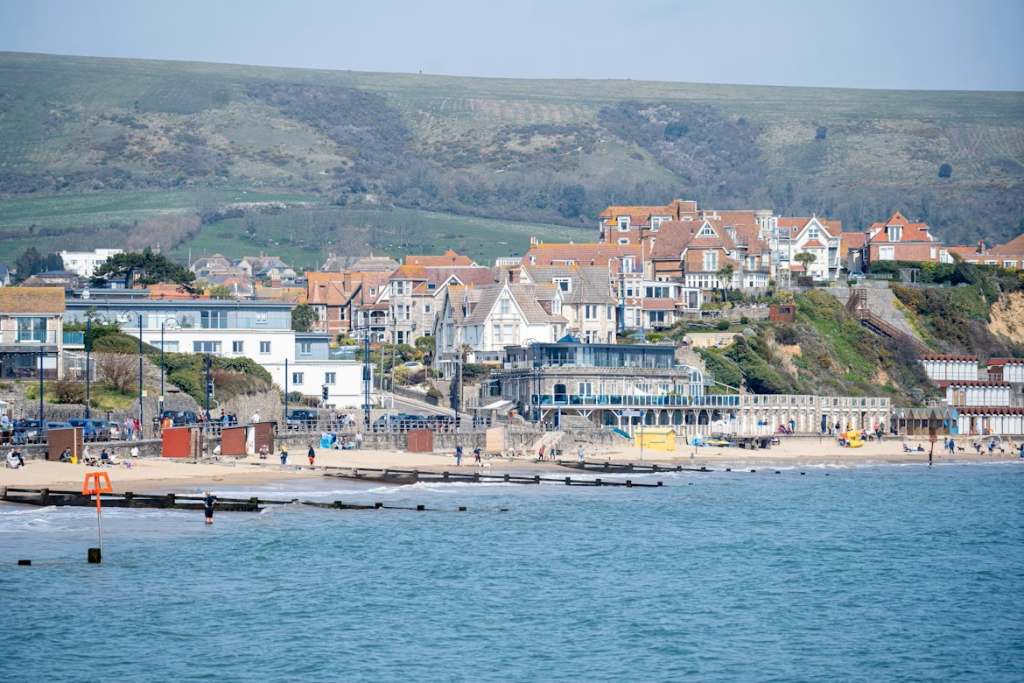
For the first time in history, almost all of the English coastline will be legally accessible on foot. Before this, large sections of the shoreline were blocked because of private land, military zones, or simply because they had no maintained path. The King Charles III England Coast Path has completely changed this.
Now, coastal towns that were previously bypassed by tourists and walkers sit on a national route. This could bring their spending into pubs, B&Bs, restaurants, and local businesses that rely on seasonal tourism. Therefore, this could be a very exciting and much-needed change to England’s coast.
Something else worth mentioning is the “roll back” rule they have for the path. The rule means that the path can be pushed back and moved inland if coastal erosion impacts its usage, meaning the path will be in operation for the foreseeable future.